Forecast Indicates Strengthening Over the Next Few Days
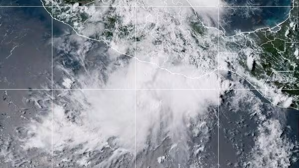
Tropical Storm Erin, located about 820 miles west of Cape Verde, may develop into the first hurricane of the 2025 Atlantic season. Meteorologists forecast that the system will continue gaining strength through the week and could reach hurricane status by Thursday night.
On the Cape Verde island of São Vicente, at least eight people have died following heavy rains and severe storms that also caused property damage. Local authorities confirmed that intense rainfall was the primary cause of the incidents.
Projected Path and Potential Impact Areas
According to meteorological monitoring centers, Erin is moving quickly westward over warm waters, which will help fuel its intensification. In the coming days, the storm is expected to slow down and gradually turn west-northwest, approaching the Caribbean.
Erin currently has maximum sustained winds of 45 mph (72 km/h), with tropical storm-force winds extending up to 35 miles (56 km) from its center. The probability is increasing for the storm to approach Puerto Rico, the Virgin Islands, and the northern Leeward Islands. It may also affect parts of the U.S. East Coast, Bermuda, the Bahamas, and the Greater Antilles next week, although it is still too early to determine exact impacts.
Atlantic Hurricane Season Context
The Atlantic hurricane season runs from June 1 to November 30 and has been forecast to be above average, with between 13 and 19 named storms expected. Warmer ocean temperatures and reduced wind shear are among the factors contributing to storm formation this year.
Rising sea surface temperatures, influenced by climate change, are making hurricanes stronger, leading to heavier rainfall, stronger winds, and increased flooding risks.