The political symbolism of maps has long influenced global diplomacy, but rarely has one been as central to negotiations as the map placed in the Oval Office during discussions between former U.S. President Donald Trump and Ukrainian President Volodymyr Zelensky. The large map, prominently shading Russian-occupied Ukrainian territories in red, has sparked debates not only about the perception of the war but also about how visual representations can shape political narratives and policy outcomes.
The Power of Maps in Political Decision-Making
Maps are more than geographical tools; they are instruments of power. In the Oval Office, the map showing nearly 20% of Ukraine shaded red was more than a visual aid—it was a political message. For Trump, it underscored Russia’s control and suggested that a negotiated settlement, potentially involving territorial concessions, might be necessary.
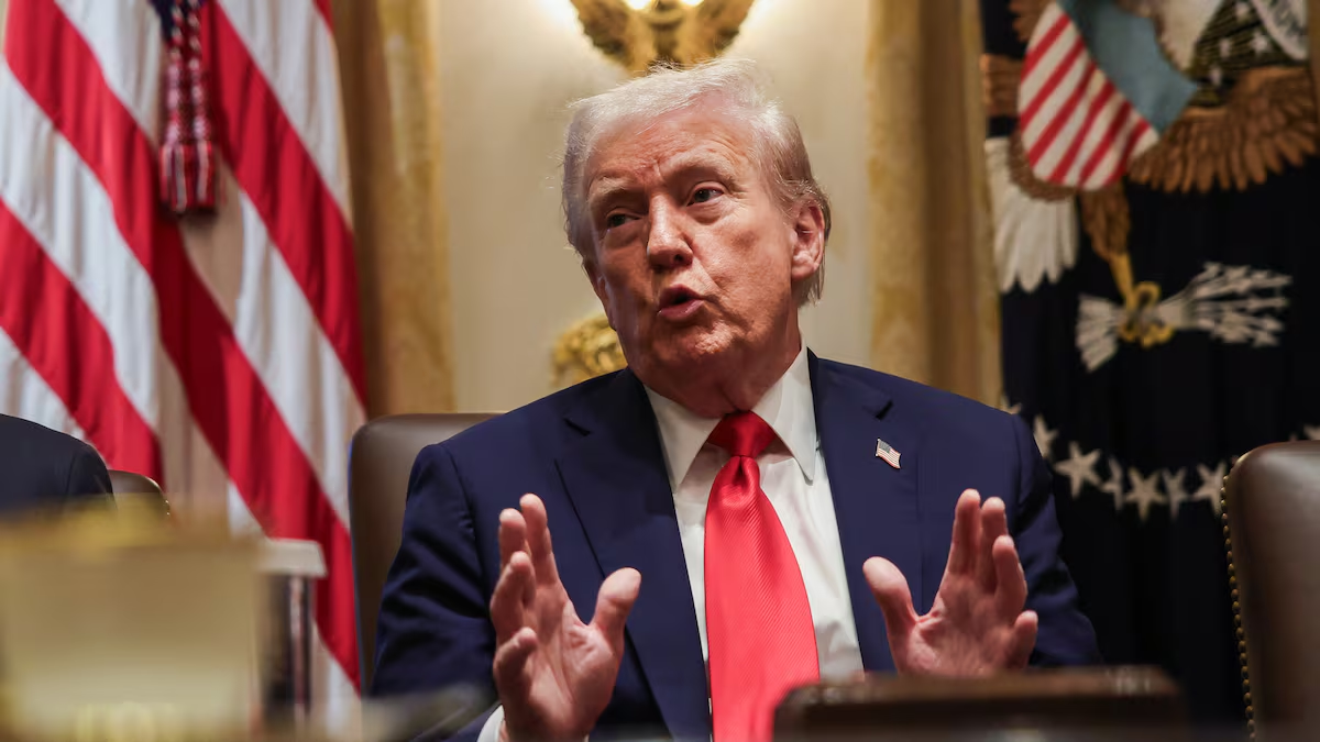
Trump remarked during an interview that “a big chunk of territory is taken,” reflecting his view that the current balance of power leans heavily toward Russia. Such statements reveal how the Oval Office map was not a passive backdrop but an active participant in the talks, shaping perceptions of what is possible or inevitable.
Political analysts at the Institute for the Study of War have noted that maps, depending on methodology, can either exaggerate or downplay territorial control. Areas marked as occupied may be under partial or contested influence, which complicates how they are interpreted in high-stakes political settings.
Zelensky’s Counter-Narrative: A Map of Resistance
Zelensky, aware of the weight such imagery carries, countered by presenting Ukraine’s own maps, emphasizing data collected by military intelligence and independent analysts. He argued that Russia has made only marginal territorial gains since the full-scale invasion of 2022, with most of the initial advances reversed by Ukrainian counteroffensives.
According to Ukrainian mapping group DeepState UA, Russia has managed to capture less than 1% of additional Ukrainian territory in the past 1,000 days, equivalent to about 5,842 square kilometers. This figure stands in stark contrast to the impression given by the Oval Office map, highlighting the crucial role that framing plays in international dialogue.
Zelensky stressed that for Ukraine, even small percentages represent lives, communities, and sovereignty. His rebuttal to the Oval Office map was not only factual but symbolic: Ukraine’s perspective must not be overshadowed by visual simplifications that could justify concessions.
Russia’s Objectives in Donbas and the South
The Donbas region continues to be the epicenter of the conflict. Trump suggested that discussions in Washington included potential compromises involving Donbas, a claim met with strong resistance from Ukraine. Zelensky has repeatedly insisted that no Ukrainian leader can concede sovereignty over the region, home to millions of citizens and historically vital to Ukraine’s economy.
Reports indicate that Russia currently controls around 79% of Donbas, including much of Luhansk and Donetsk, with partial control in Zaporizhzhia and Kherson. However, Ukrainian-controlled areas in Donetsk still house an estimated 242,000 civilians, underscoring that the territory is far from being fully under Russian control.
Analysts at NATO highlight that Russia’s military strategy in Donbas is both resource-intensive and prolonged. Seizing the remainder of the region could take several years of costly campaigns, suggesting that quick territorial settlements may not align with battlefield realities.
Military Dynamics and Human Costs
The shifting front lines reveal a story of resilience and attrition. While Russia has accelerated drone attacks and recruited tens of thousands of new soldiers, Ukraine has mounted successful defenses in strategic regions such as Kharkiv and Sumy. A recent Russian attempt to advance 10–15 kilometers into Ukrainian-controlled territory near Dobropillya was repelled, showcasing Ukraine’s capacity to withstand even well-planned assaults.
Meanwhile, Russia’s capacity to replenish its forces, despite heavy casualties, raises concerns about the conflict’s long-term trajectory. Analysts from European Council warn that sustained Russian offensives could exhaust Ukrainian defenses unless international military aid continues at current levels.
The human toll is staggering: each kilometer gained or lost represents displaced families, destroyed infrastructure, and ongoing humanitarian crises. Maps that reduce these realities to percentages risk obscuring the profound impact on civilians caught in the crossfire.
International Reactions and the Future of Negotiations
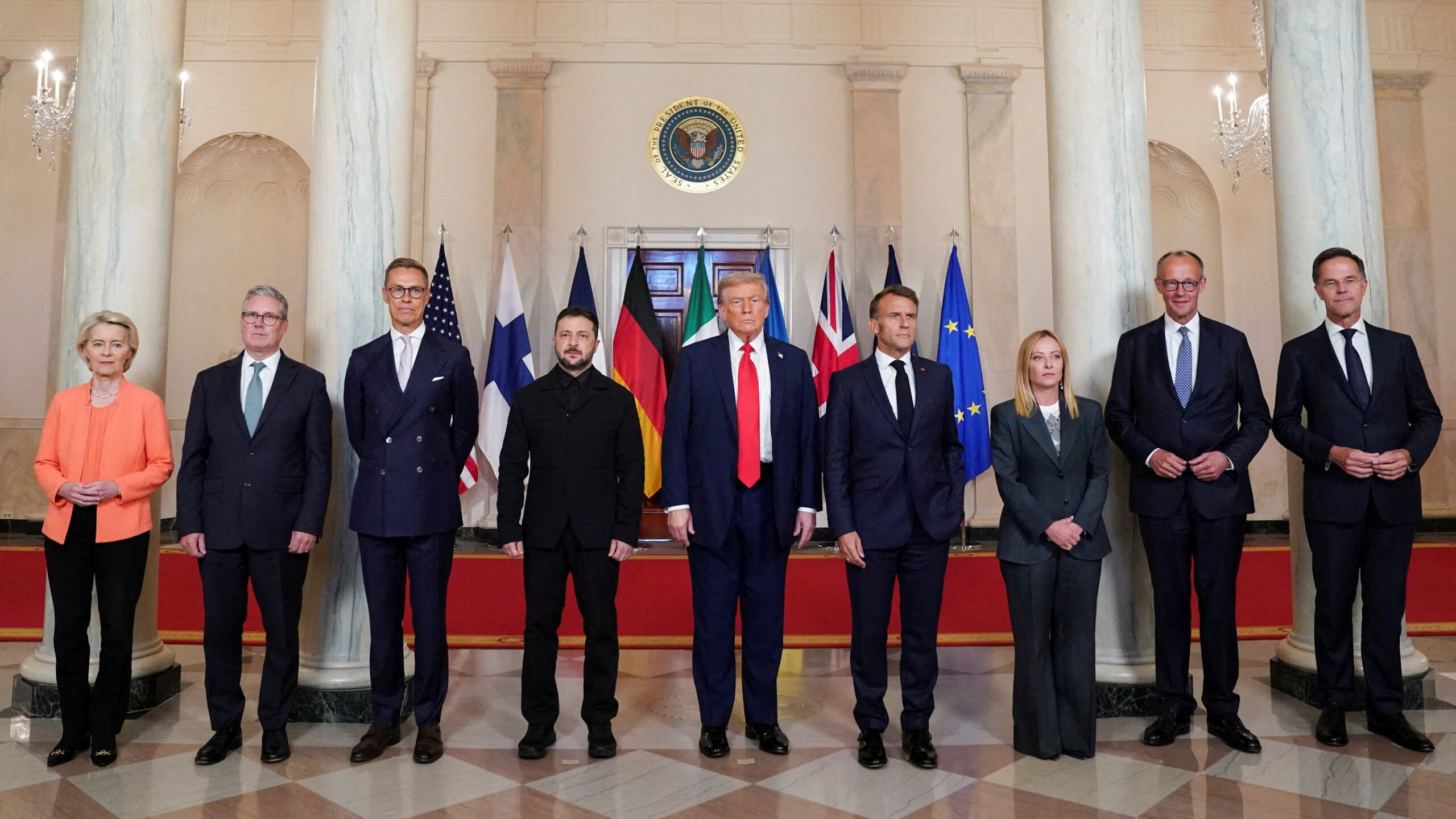
The contrast between Trump’s interpretation of the Oval Office map and Zelensky’s rebuttal reflects broader international debates about the war’s trajectory. While some Western leaders have expressed openness to negotiated settlements, others insist that Ukraine’s sovereignty cannot be compromised for the sake of expediency.
European leaders, including those in Brussels, continue to emphasize that any peace framework must respect Ukraine’s internationally recognized borders. Discussions within the Council on Foreign Relations suggest that conceding to Russian territorial claims could set a dangerous precedent for global security, potentially encouraging similar aggressions elsewhere.
Looking ahead, the role of visual narratives like the Oval Office map will remain critical. They do not merely illustrate facts; they shape the lens through which policymakers, the media, and the public view complex geopolitical realities.
For Zelensky, the battle over maps is as important as the battle over territory. His closing words in Washington captured this sentiment: “I’m fighting with what is on that map—not by hearsay, but in reality. I’m thinking about how to take it back.”